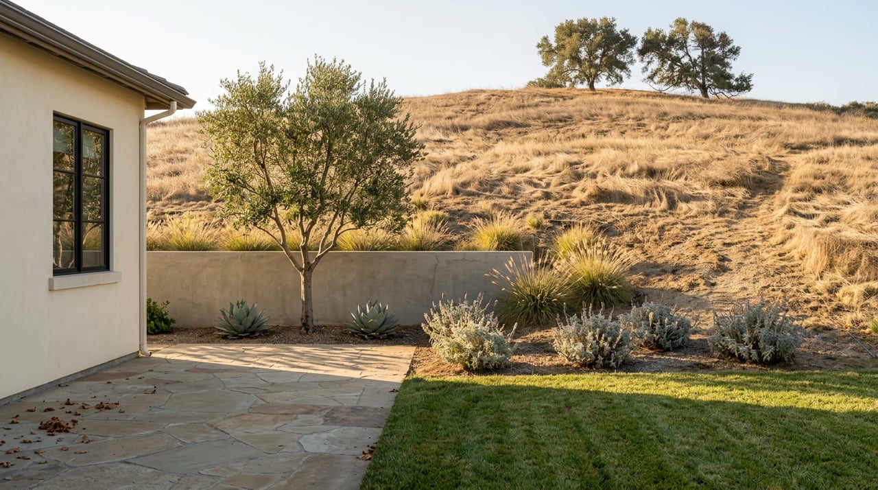
Saturday morning at Sabre Springs Park looks exactly like you'd expect. Little League families set up folding chairs along the fence, a coach hoses down home plate, somebody's dog is doing laps on the walking path while its owner talks. Past the outfield fence, though, a different kind of Saturday is happening. Someone in trail shoes climbs a short, unremarkable hillside behind the backstop and disappears into the chaparral. There's no trailhead sign. No kiosk with a map. If you didn't already know it was there, you'd have no reason to look twice.
That's the thing about this park most people driving Sabre Springs Parkway never clock: it's running two completely different neighborhoods on the same acreage, and the only thing separating them is a hillside nobody bothered to mark.
The Trailhead Nobody Marked
The Van Dam Peak Trail starts at Sabre Springs Park, and it starts nowhere official. A local outdoors columnist who hiked it described exactly this problem: the route begins on the eastern side of the park behind the baseball field, and because it isn't a clearly established trailhead, hikers have to climb up a short hillside just to find where the path actually begins. No sign tells you that a 2.9-mile out-and-back with 784 feet of elevation gain starts a few dozen yards from the pitcher's mound.
AllTrails logs it as a moderately challenging hike averaging just under an hour and forty minutes round trip, and the terrain backs that up. The first mile climbs steadily with no shade, which matters more in August than it does in February. Erosion has carved V-shaped trenches into parts of the trail, the kind of loose, rocky footing where you end up walking heel to toe instead of your normal stride. None of this is dangerous. It's just the sort of detail you only know if you've actually done it, or if you talk to someone who has.
Even The Peak Baggers Get Lost
Here's where it gets a little more interesting than a standard neighborhood hike. That same columnist never actually reached Van Dam Peak. Around the 1.5-mile mark, the trail delivers hikers to a concrete slab covered in graffiti, the remnant of an old radio tower foundation, with a 360-degree view that takes in Black Mountain to the northwest and Mount Woodson to the northeast. Most people treat that overlook as the destination and turn around there. It isn't the peak. It's just the spot where the view gets good enough that finishing the actual summit stops feeling necessary.
The people who do go looking for the true summit run into the same problem hikers on peakery.com have documented for years: no register, no marked path, and at least one reported route that requires finding a break in the brush and squeezing through a barbed wire fence to pick up a faint use trail the rest of the way. One trip report on peakery describes exactly that scramble, arriving to find the views blocked by high brush anyway. The mountain visible from a Little League outfield has never been properly signed, mapped, or maintained as a destination. It's there. Almost nobody has formally claimed it.
For hikers who want to keep going past that graffiti-covered overlook instead of turning back toward the parking lot, the trail continues on toward the Meadowbrook Ecological Reserve, though most casual users never take that turn. The ridge is popular enough to have 463 community reviews and a 4.3-star average on AllTrails. The peak itself barely has a paper trail.
Quiet Weekdays, Crowded Game Days
The split identity shows up in how the park actually gets used. On weekdays, it's close to empty. One longtime visitor's review put it simply: the park is quiet and clean most of the time, and the only time it genuinely fills up is during youth baseball season, when league games take over the fields for entire weekend stretches. The concrete walking path that loops the park runs about 0.35 miles per lap, popular with runners doing repeats and residents walking dogs who, by local account, are conscientious about cleanup.
There's a structural reason Saturday mornings carry so much of the park's weekend traffic. The park has one lit softball field and one unlit baseball field. Only one of those fields can host a game after the sun goes down. Baseball games have to be scheduled and finished within daylight hours, which pushes tournament and league play toward early starts rather than evening slots. It's a small infrastructure detail, but it explains why the parking lot fills up at 8 a.m. instead of staying busy into the evening the way a lit field would allow.
What's Actually On The Calendar
The Carmel Mountain Ranch/Sabre Springs Recreation Center, attached to the same park complex, runs a small but consistent slate of community events each year: a Spring Egg Scramble, Movies in the Park screenings through the summer, and a Fall Carnival. This year's movie lineup included a screening of Hoppers at the rec center on July 17, projected on the same open field where Saturday morning games start hours earlier. The rec center's own program page lists the indoor gym for basketball, volleyball, and pickleball, two outdoor courts, a multipurpose community room, two playgrounds, and picnic areas with an accessible restroom, all inside a facility that's been serving both communities since it opened in 1997.
With Movies in the Park wrapped for the summer, the Fall Carnival is the next event most residents have circled, even without a firm date yet announced. It's worth checking the rec center directly if you want to plan around it, since these dates tend to get finalized closer to the season.
The Loop Back Through Sabre Springs Marketplace
Whether you're coming off the trail or packing up after a game, the closest food is a short walk or drive to Sabre Springs Marketplace, where Nutmeg Bakery & Cafe opens at 7:30 a.m. daily and runs breakfast and lunch through 2:30 p.m. Its Spicy Corned Beef Hash shows up repeatedly as the dish regulars order, and it's popular enough that when the Scripps Ranch location dropped it from the menu, longtime customers specifically drove to the Sabre Springs location to keep getting it. Alvaro's Mexican Food sits in the same plaza, along with the more practical stops in any neighborhood center: a dry cleaner, a car wash, and Nick Rail Music, a local instrument shop that's been part of the plaza for years.
If the plan shifts to dinner, the options widen without needing to leave the immediate area. Yanni's Bar & Grill draws a following from Poway, Scripps Ranch, and Rancho Bernardo alike, not just Sabre Springs. Cafe Luna, over in Carmel Mountain Ranch, has been running the same dining room for more than two decades. Aaharn 56 Thai Cuisine keeps showing up in local reviews as a consistent favorite, tucked into a strip mall setting that undersells what's actually coming out of the kitchen.
Two Neighborhoods, One Fence Line
None of this makes Sabre Springs unusual in some dramatic way. What it does is confirm something worth knowing if you already live here: the park you drive past for weekend games is doing more work than the scoreboard suggests. A hillside with no trailhead sign, an overlook most people mistake for a peak, and a plaza a five-minute walk away covering breakfast through happy hour all sit inside the same rough footprint. You don't need to move here to benefit from that. You just need to know the sign was never coming, and go find the trail anyway.
If you're curious what a home near that trailhead is actually worth in today's market, or just want a second set of eyes on the neighborhood before your next move, Karlee Van Dyke offers a free home valuation and knows this stretch of San Diego block by block.